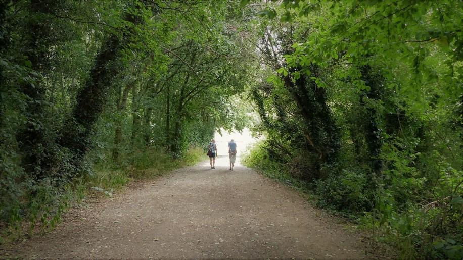
Greener, happier, healthier
Nottingham City Council’s greenspace strategy
Natural England state that parks and greenspaces throughout the country deliver an estimated £6.6 billion of health, climate change, and environmental benefits every year.
"Using green infrastructure to bring the sights, sounds, and smells of nature into every city, town, and street will not only create nature abundant, beautiful spaces for everyone to enjoy, but will help tackle climate change too. "
But, they warn, with 80% of people now living in towns and cities, one third of people do not have access to good quality green and blue space within 15 minutes of their home.
Through its Green Infrastructure Framework, Natural England is working with local authorities to increase the amount of green (or blue) cover to 40% in urban residential areas and identify where it’s needed most.
To create and carry out their strategy for meeting this target, Nottingham City Council needed to understand the current situation across its urban spaces.
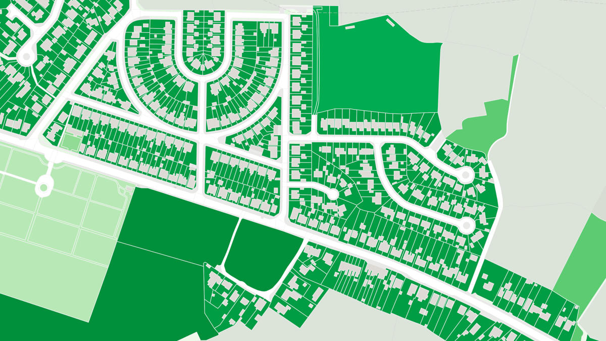
The council was able to take advantage of OS MasterMap Greenspace Layer, to complement their own local information and confirm that around 37% of their built up areas were already either green or blue space.
"OS Greenspace’s comprehensive land coverage is great for high-level projects like this, particularly as it maps the small areas of greenspace that contribute to the total. Because it’s updated regularly by OS to reflect changes on the ground, it's a reliable and accessible product for quick analysis. We’re already exploring how we can use it on other projects."
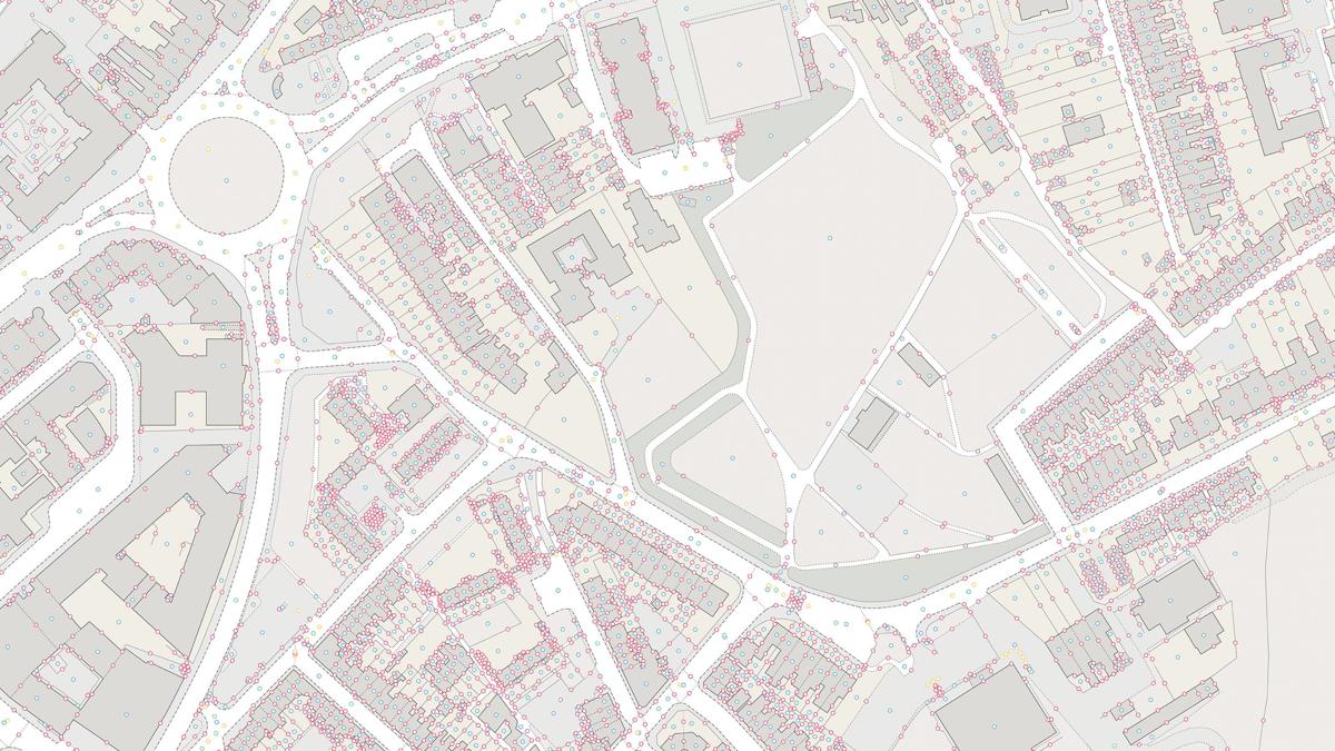
Nottingham City Council has been able to build up an even more detailed picture using OS MasterMap Topography data by harnessing the value of shared identifiers between products. Using the OS Open TOID made it possible to identify individual features and fill in any 'gaps' in Greenspace data on the edge of urban areas.
With an accurate lie of the land, including how areas with higher levels of deprivation intersect with greenspace coverage, the council could now see which areas could be enhanced, and develop its greenspace strategy, with a clear benchmark for measuring progress.
For example, the strategy sets out how they can create more nature-rich urban greenspaces to meet mandatory Biodiversity Net Gain requirements and support the development of the Nature Recovery Network, a key part of the UK government’s 25 Year Environment Plan.
"As well as helping us meet our regulatory planning responsibilities, our greenspace strategy will make sure that everyone living in the city can access greenspaces, open space and water, helping to support their health and wellbeing. It will also help Nottingham to tackle climate change and achieve our ambitious aim to become a carbon neutral city by 2028. "

Our highly accurate geospatial data and printed maps help individuals, governments and companies to understand the world, both in Britain and overseas.
Products and solutions featured in this blog
OS MasterMap Greenspace Layer
OS MasterMap® Greenspace Layer is a detailed dataset of the greenspaces within an urban area for Great Britain.
OS MasterMap Topography Layer
A map dataset of Great Britain's landscape – from roads to fields, to buildings and trees, fences, paths and more.
OS Open TOID
A dataset of unique identifiers for a wide range of land-scape and built environment features with a generalised location from OS MasterMap products.